So it was perhaps one of the biggest decision in this years Wildside MTB Race … to cross the Montezuma Falls swing bridge (with all its possible delays) or to take the detour?

As I wrote in an earlier blog, I took the swing bridge, but several of the people I was racing with didn’t … and quite a few of them later reported losing a lot of time due to that decision.

Now I knew that this was complete hogwash and that in truth they lost that time to my mountain biking awesomeness (suddenly discovered on that bridge and nowhere else in the race), but on a last second whim as I was driving past Rosebery today, I headed back up to Montezuma Falls to check out the detour myself …
 |
| To detour or not to detour … that is the question? |
Now if you believed the information provided by the race director, cyclists could expect to lose around 6 minutes doing this detour … but on the upside, they could potentially make this up (and more) from not standing in line at the bridge … like this …
Just to prove I’m not making that up, here’s the track notes we were given to guide our decision …
Now the only problem with this guidance was that it was provided by people who could ride and race mountain bikes, not people who were back in category J and whose goal was more centered around surviving a mountain bike race.
That’s me if you didn’t make the connection.
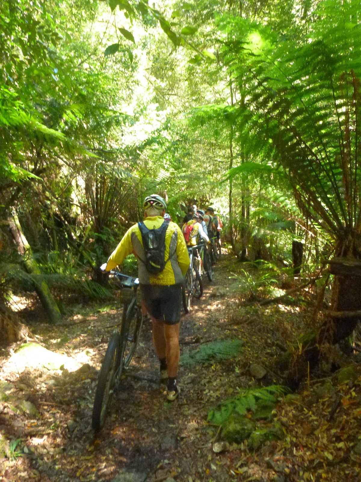
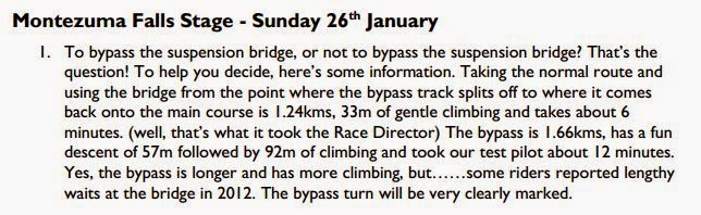
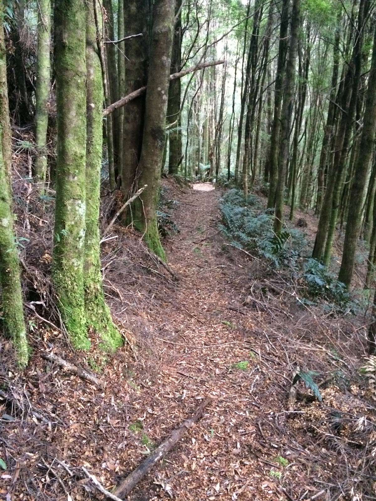
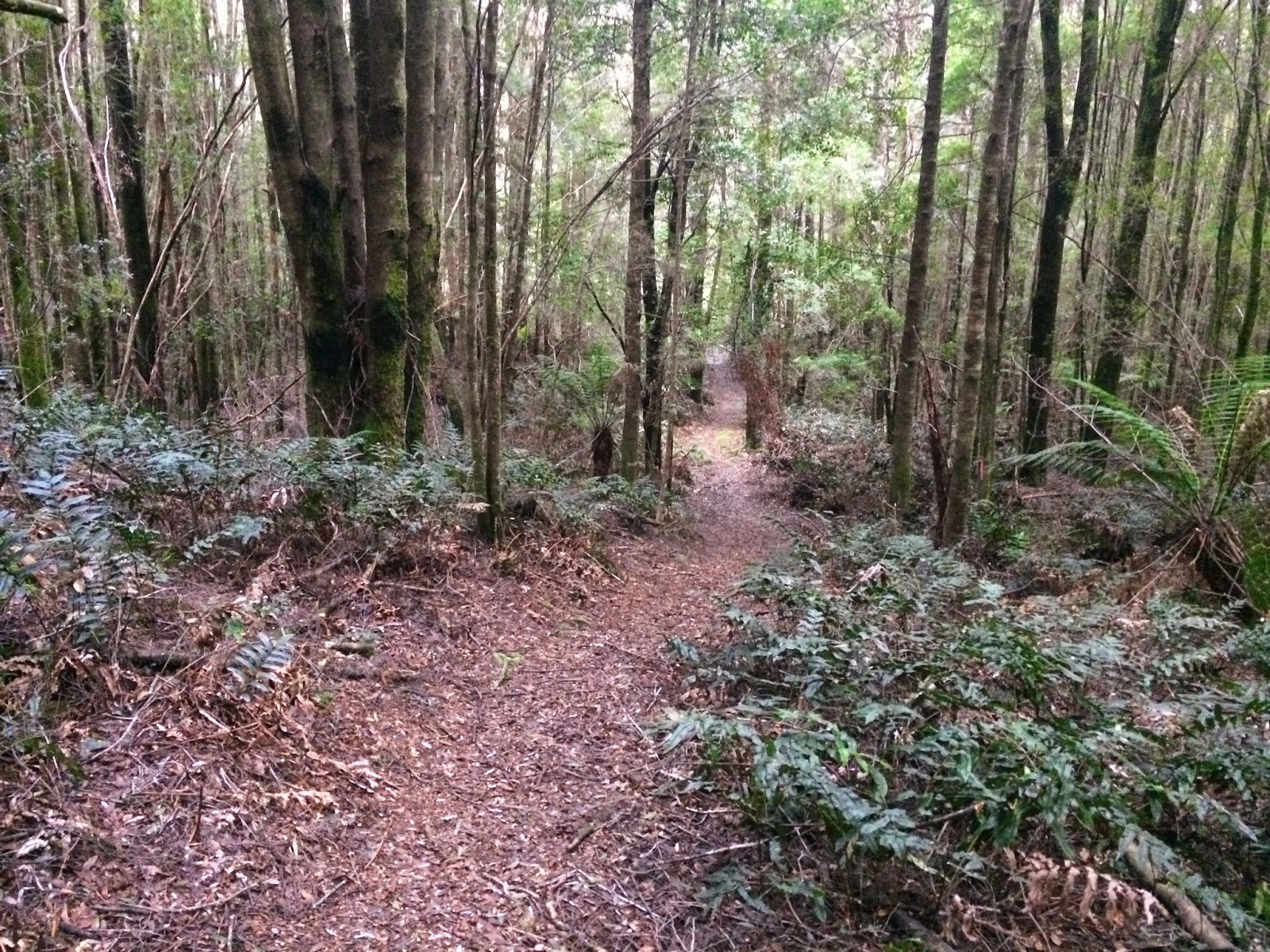
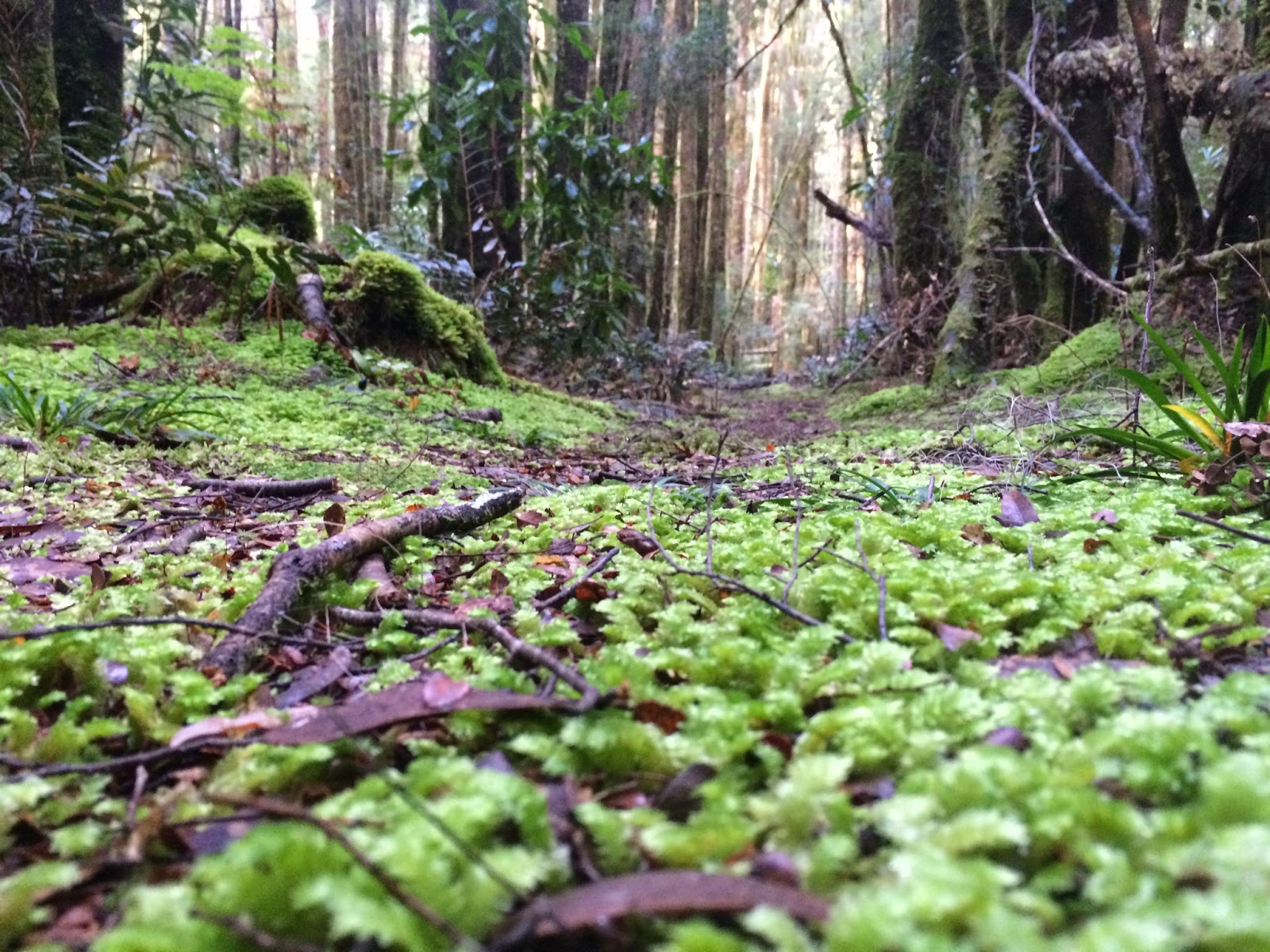
So I went and rode the detour today because I’d heard it was cool …
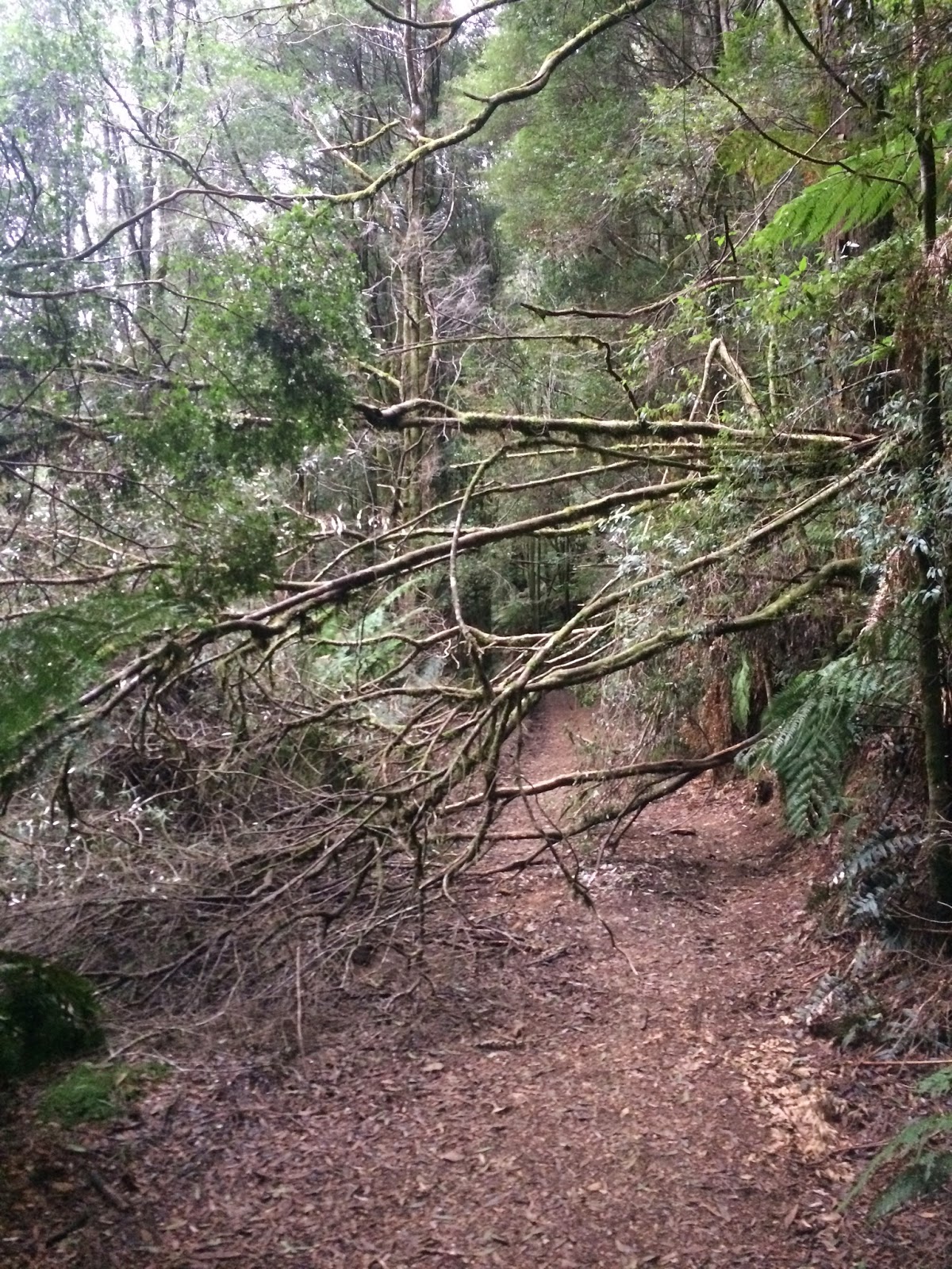
… and to be honest I sort of didn’t enjoy it (I know, heresy) because the “fun descent” isn’t so fun when it’s clogged up with downed branches and other debris, and the “92m of climbing” (that’s ascent not distance) was very wet this time of year and also had lots of downed branches and was overgrown and so turned into lots of walking, and track clearing … and not much riding.
On the upside, it was pretty though …
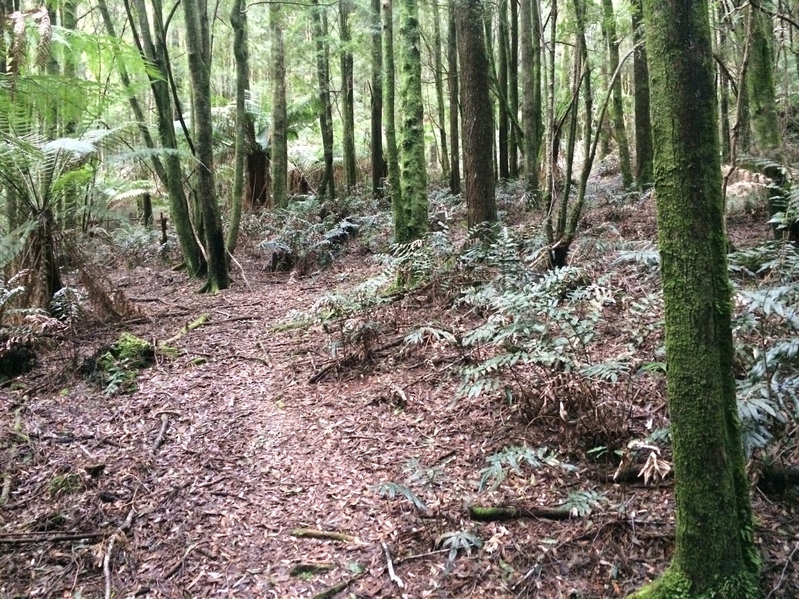


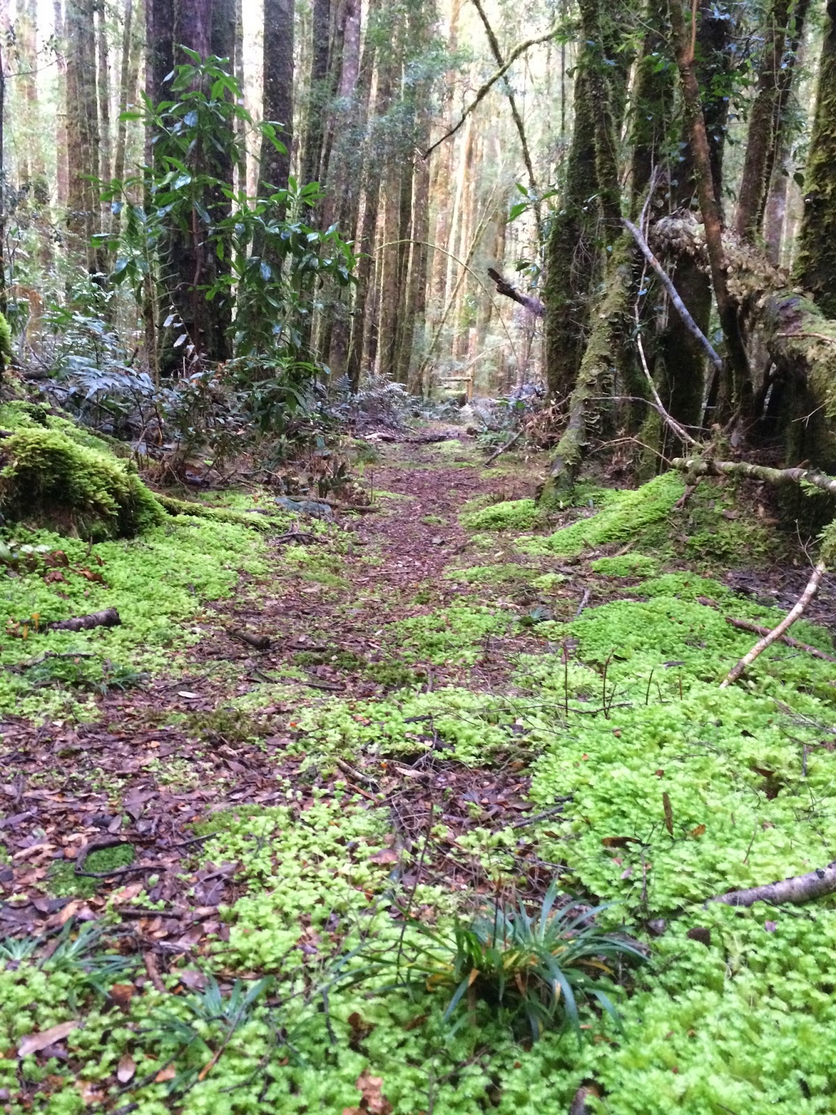

 |
| Note my bike in the mid-left of photo – that’s where the trail emerges. |
So while I was thinking about how pretty this all was, it also occurred to me that I could compare my time today (which was pretty much the slowest I could possibly do that section) with my time during the race to determine the maximum loss in time that anyone who took the detour could suffer (and to stop all those whingers who don’t recognise my awesomeness).
So I spent twenty minutes trawling through my GPS data and … and … and … I don’t really want to publish the data on account that it might destroy some of my heretofore claimed awesomeness.
But if you all agree that I’m awesome (which I’ll take it you do) here’s the results …
Walking quite a lot of the trail, stopping to take photos along the way and also doing what track clearing I could, it took me a whopping 35 minutes to hike-a-bike the detour. By comparison it took about 11 minutes, including the time waiting at the bridge (about 4 or 5 minutes as best I can tell from the data) to go the bridge route.
That’s a maximum loss of around 24 minutes, and if I was racing, and if that track was cleared and dry … I would guess I would have lost about 15 minutes doing the detour (about twice what was predicted).
This, unfortunately, pretty squarely matches with what everyone I talked to said they lost … darn it.
And there’s another Rambler factoid for you.
============
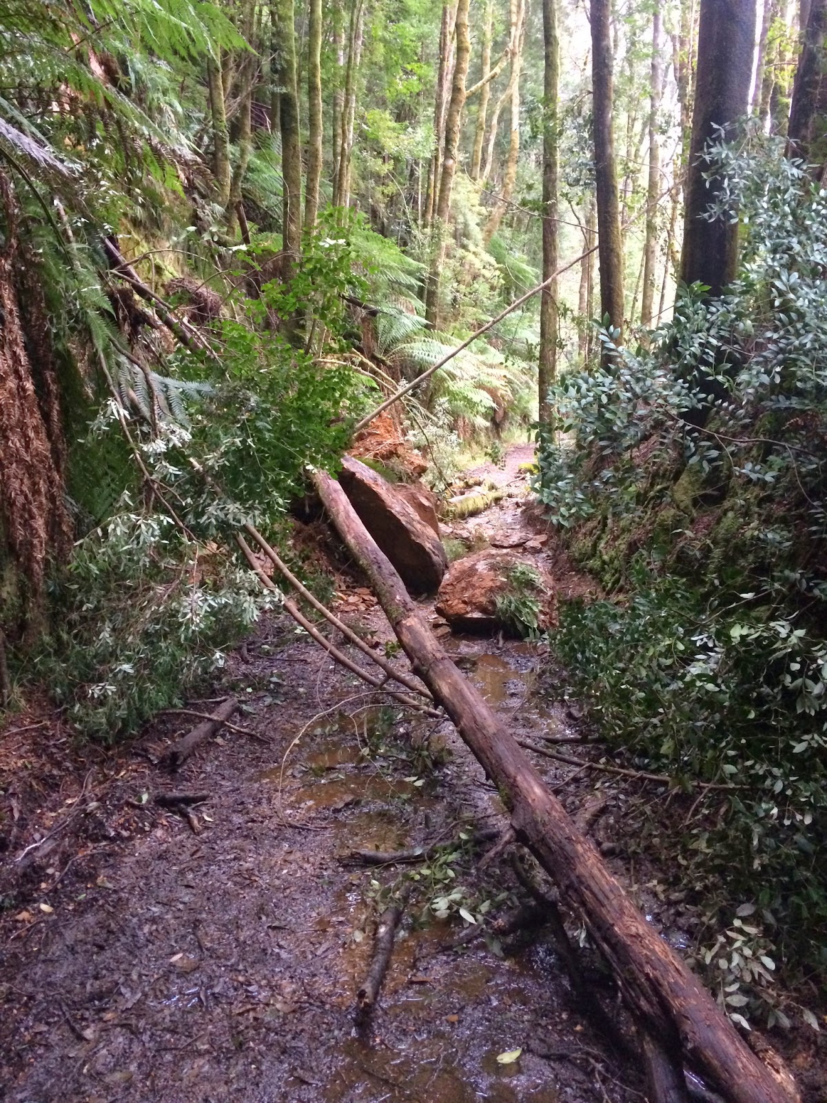
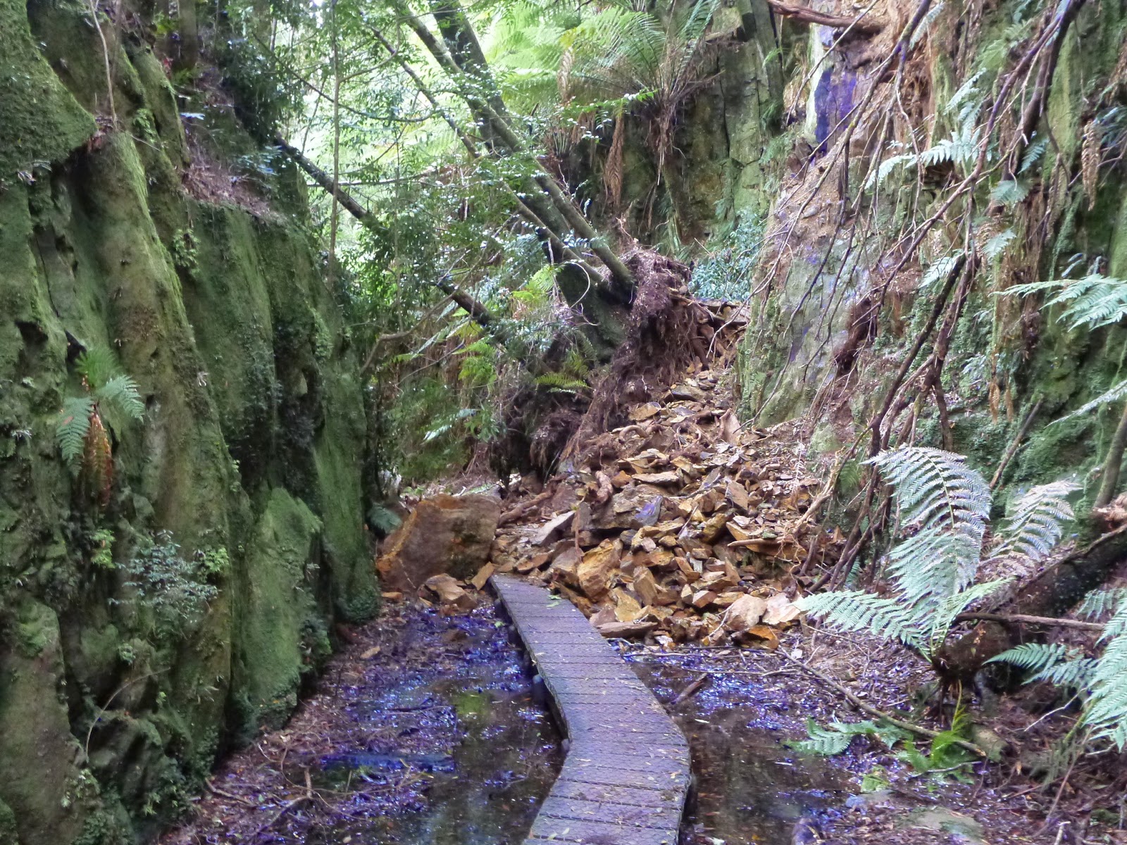
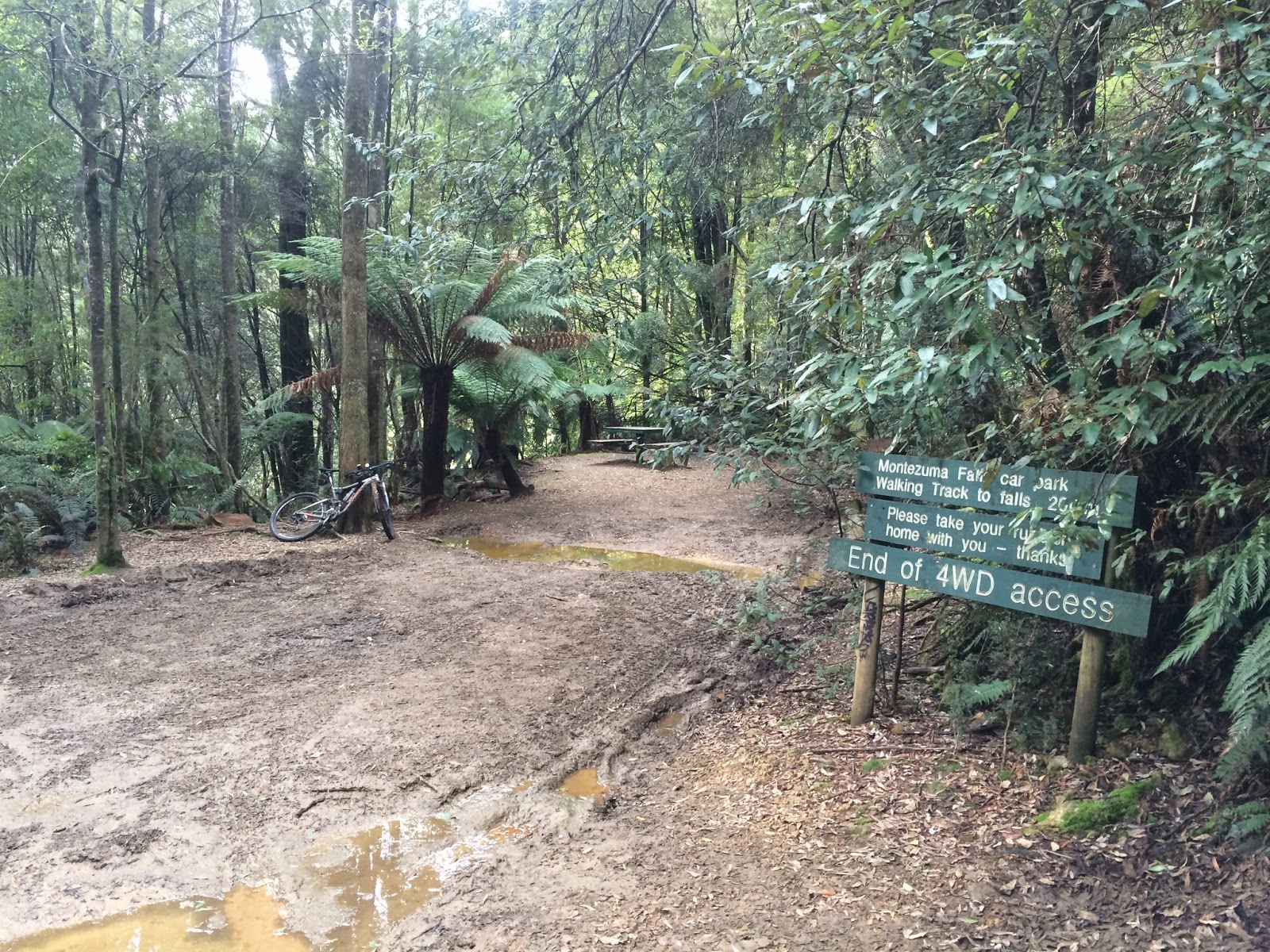
The detour will go up on www.tassietrails.org sometime in the future (when I stop wasting my time blogging), but in the meantime if heading out that way be aware that there’s about half a dozen downed trees and two minor landslides on the section of track between the walkers carpark and the falls at the moment (June 2014).