Go on, fess up … I bet you read the title to this post and thought “Where the frick is Pilchers Hill?!?“.
If you haven’t heard of Pilchers Hill, then don’t feel bad because even the Google Gods only have a few references to it in their inter-webby library which means it can’t have been a very important place to know about (please notice the past tense in that sentence, because I have used it for a reason).
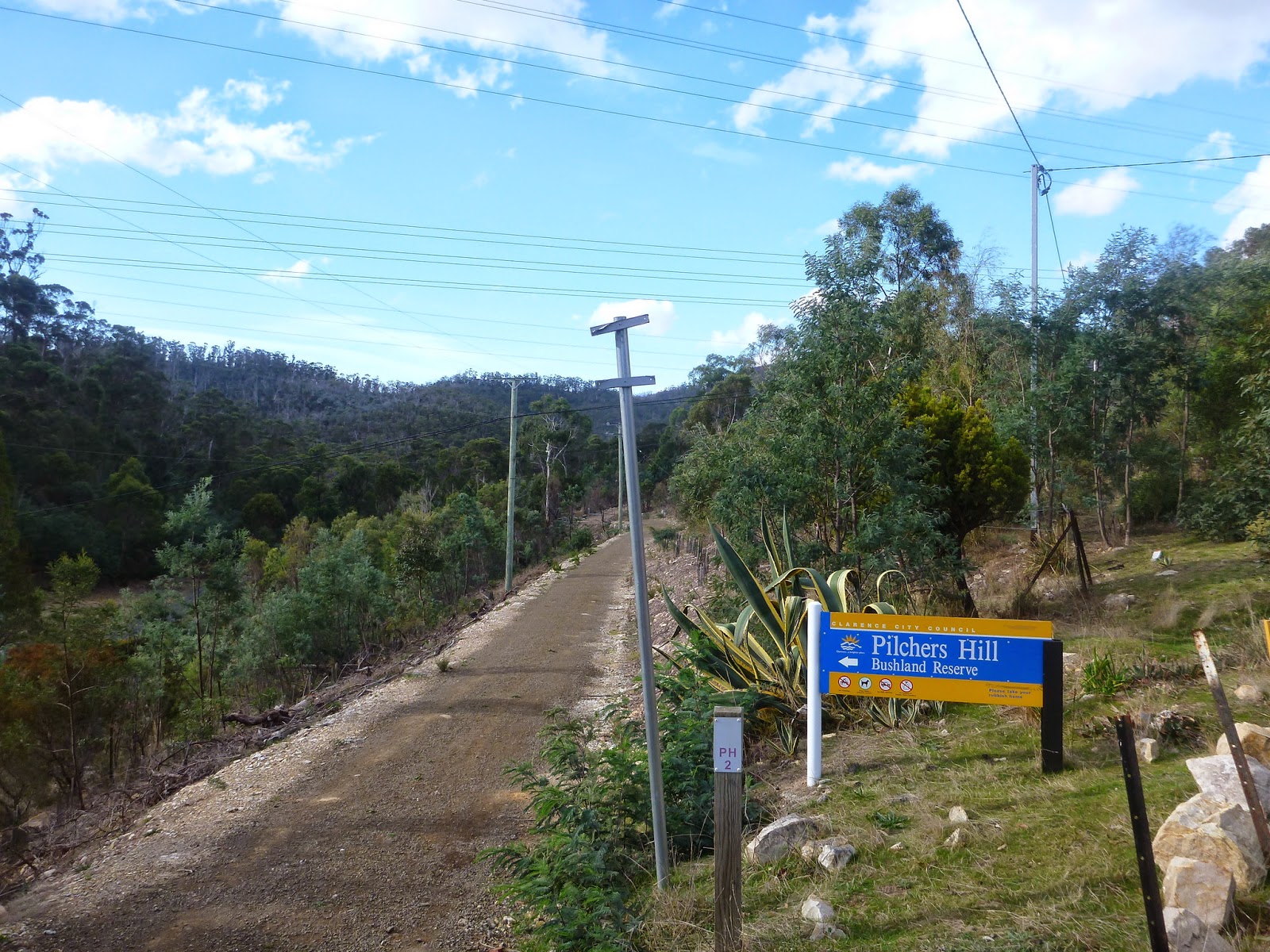
Pilchers Hill, to put you out of your misery, is actually on the Eastern Shore of Hobart, up behind the Lindisfarne / Geilston Bay area and although I’ve ridden through here a few times for rogaining events or just on my way out from the Meehan Range, it’s never been somewhere I’ve gone to ride … until today.
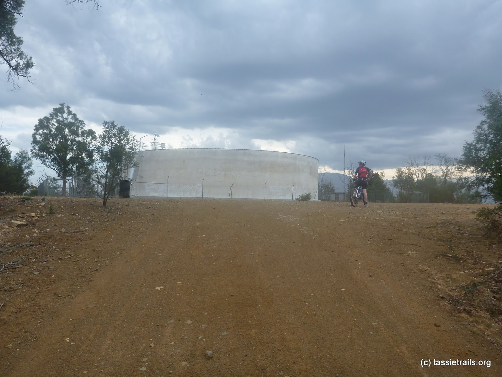 |
| This is Pilchers Hill from a previous ride – a big watertower |
So, I woke up this morning at 5am with vague plans that, if the weather was looking OK, I was going to either head on over to the west coast and try and ride the Lake Spicer track or maybe (if I heard from Kim that she could come and stay Sunday) just head down and have another hit out with the Yo Yo Track (Yes Peter, I was planning this even before our exchange last night).
But as I woke up and heard the wind and rain buffeting the house I knew the weather was not OK, in fact the weather was sounding far from OK, and so instead of jumping in the car and zooming off, I spent the morning in front of my computer finding out just how badly I’ve abused my poor credit card over the past month and trying to put together some track notes for the Dial Range.
But then as the morning wound on and the weather started to settle down, my mind moved to trails and riding and the fact that my only exercise for a week has been walking back and forth between offices …
I needed to go riding …
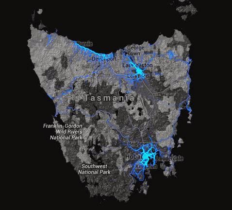
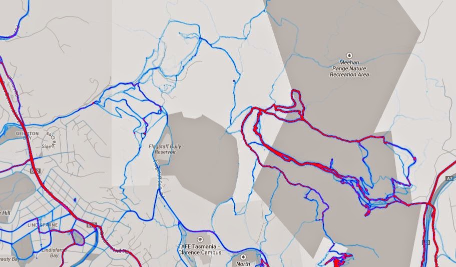
Now, if you haven’t stumbled across it yet, there is a new and awesome tool in the track finding tooklit for those of us who like to find new trails … it’s the Strava Global Heatmap …
This map basically shows where people are uploading their strava routes and it’s a really cool way to find new (but be cautious because they’re not necessarily legal) routes that people are using (as an aside I was using this yesterday to plot a route around Victoria for a visit up there in September because it is a really good way of finding mountain bike parks which highlight up in squiggly lines and really stand out).
Anyway, my thinking was to head off and check out the new switchback upgrades at the
Clarence Mountain Bike Park but on a whim I had a look at the strava global heatmap and noticed this …
Not the bright red highlighted route on the right hand side of the screen which is the Meehan Range tracks , but what caught my attention was the other patch of intertwined light blue lines on the left hand side of the screen … if you haven’t figured it out yet, the trail less traveled is as seductive to me as groomed trails are to most other riders so I knew where I was heading to today …
… wherever those blue lines were.
After a quick lunch with Kim (who was in the area doing soccer monster duty) I set off from Geilston Bay and made my way up the Geilston Rivulet track towards the reserve with the vague idea of riding up through the reserve and trying to find my way over to Risdon Vale and then back to the car via Government Hills.
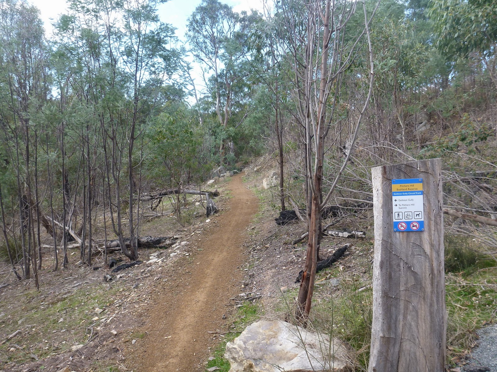
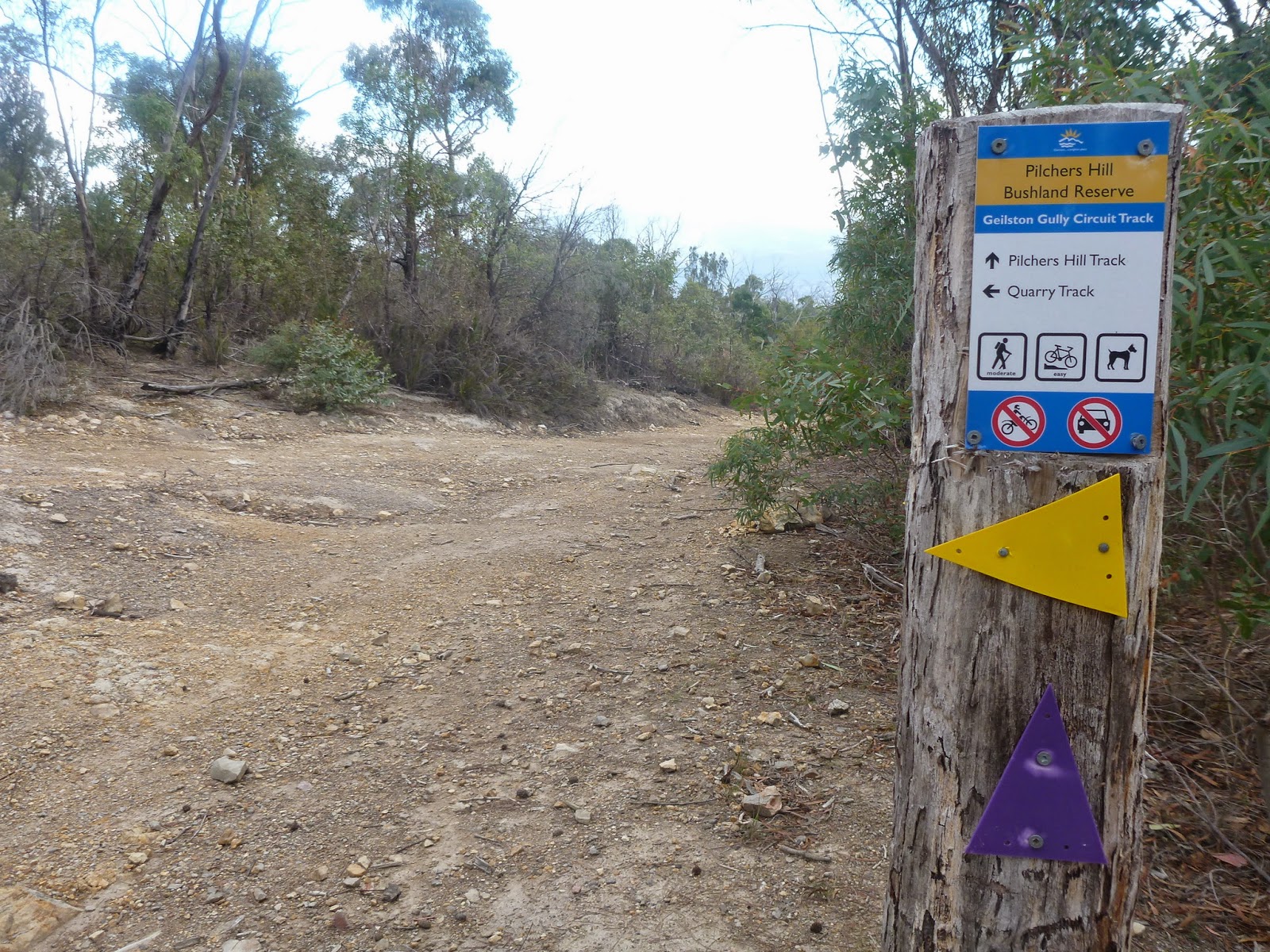
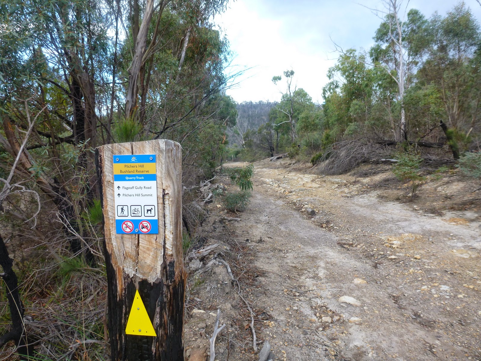
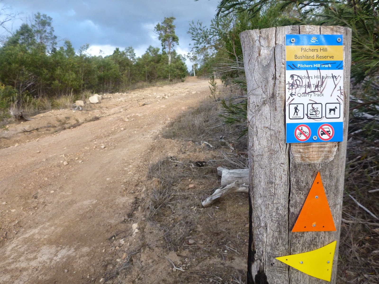
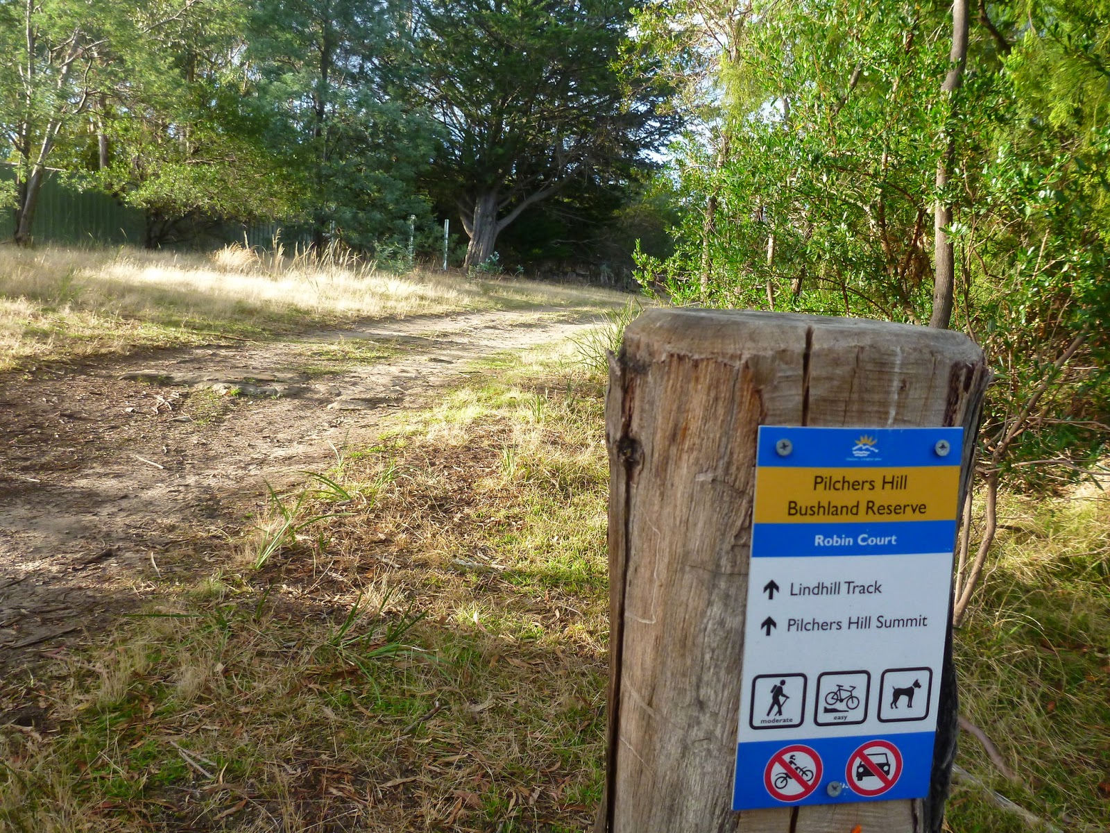
As soon as I was in the reserve though I noticed that there were all these new signs for rides in the park …
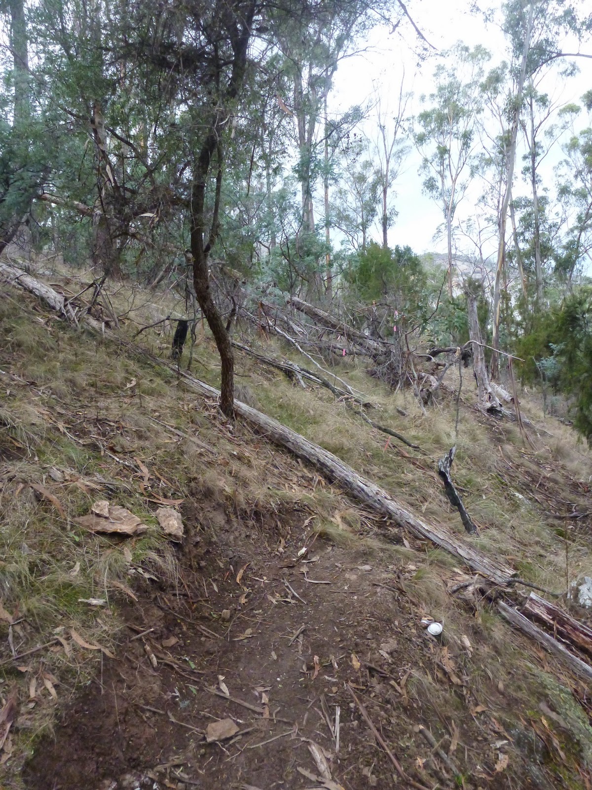
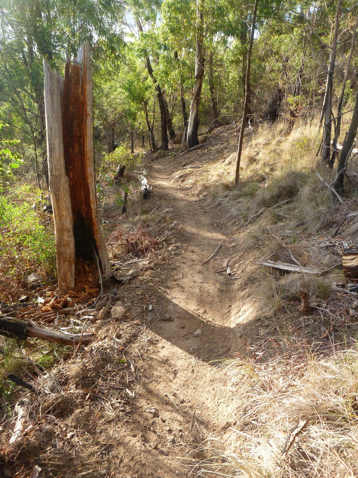
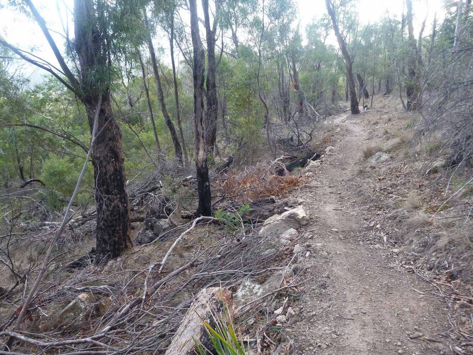
Then as I was making my way up the gully and was about to cross the creek (on a trail I’ve been up before), I noticed what looked like a new piece of single track heading off to the left … cue my discarding all other vague plans and my pursuit of new trail …
As it turned out (a) this was a lovely little trail that gently climbs up the side of the hill and (b) …
… it’s so new it isn’t finished yet.
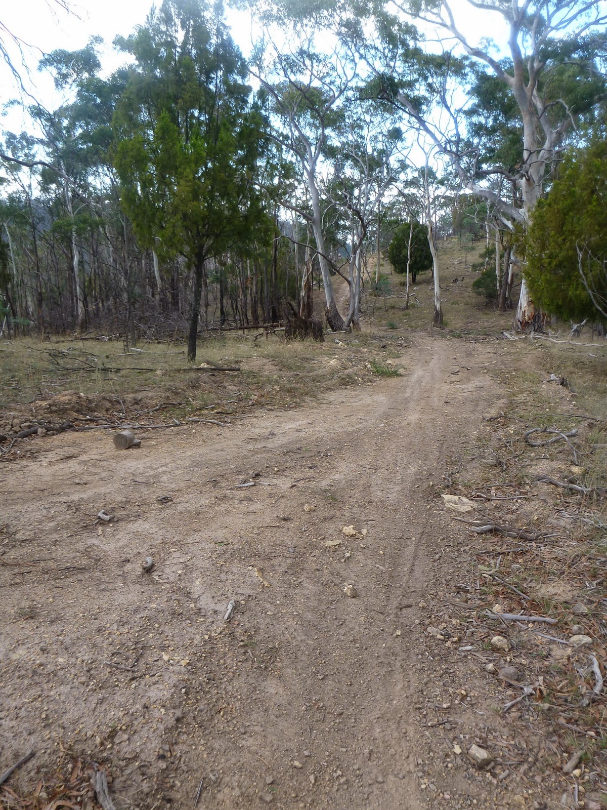
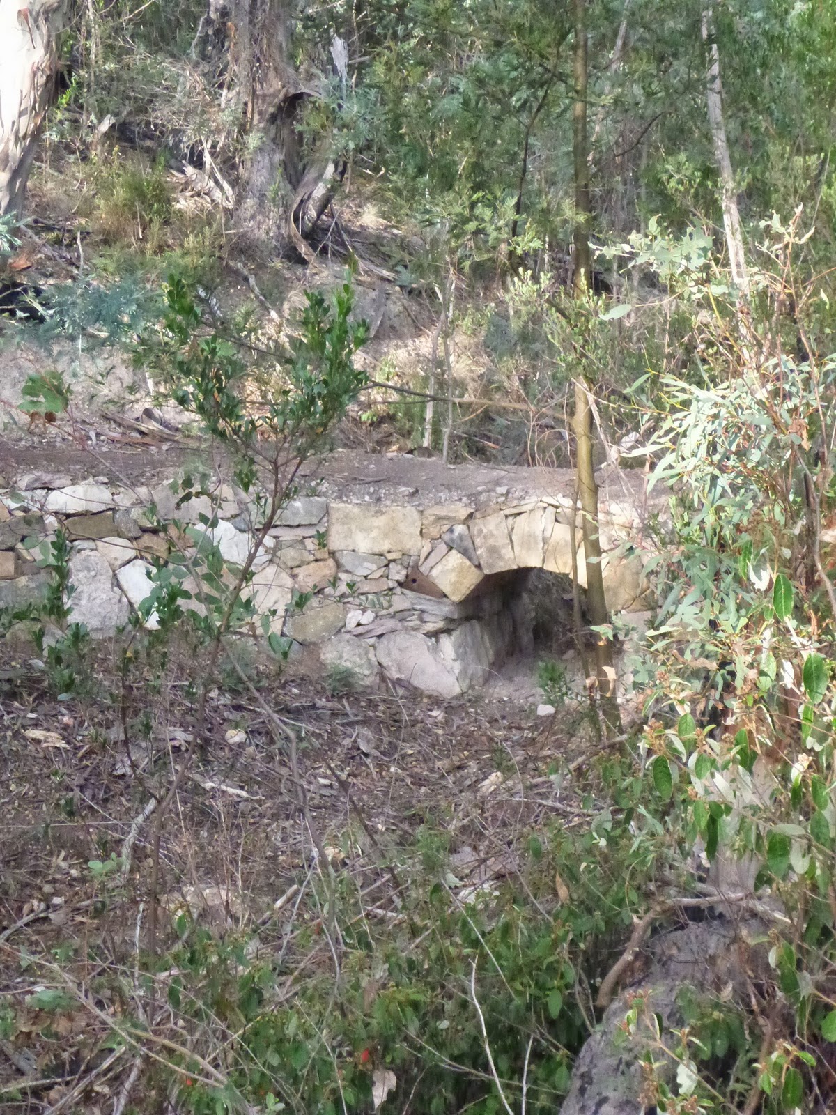
It was only a short walk around the hill to get back onto a 4WD trail (which was where I found the video camera from my previous post) and from here I just headed up the hill (to Seagers Saddle) and basically just followed what looked like the most obvious or interesting track in front of me to see where it would take me ..
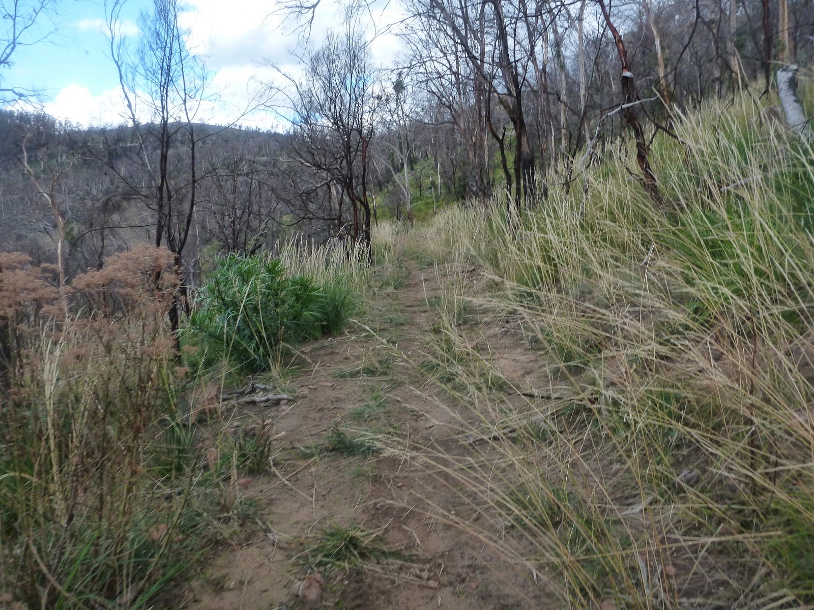
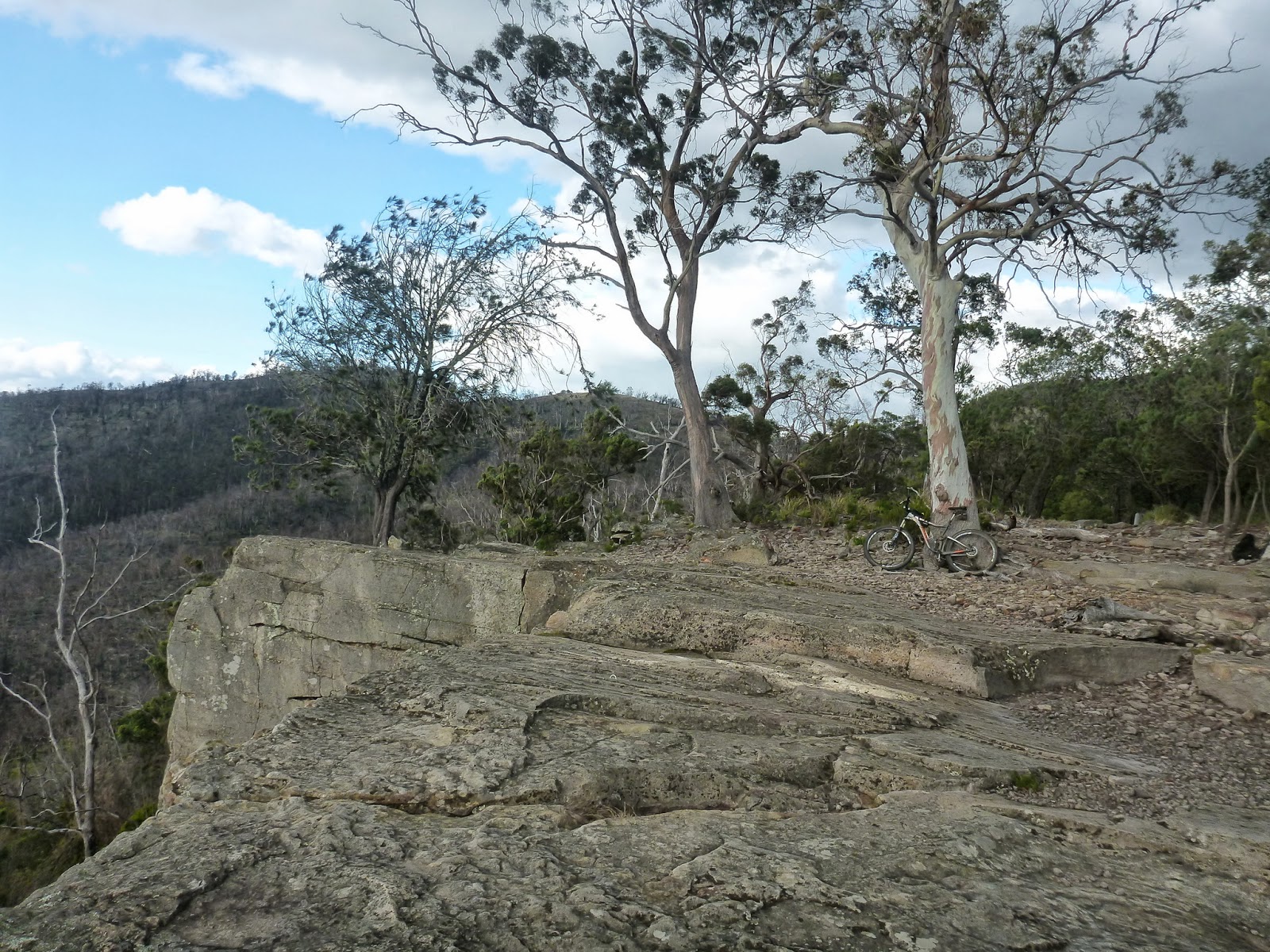
That turned out (though I didn’t know it at the time) to be the top of Caves Hill / Tom Thumb which is a gorgeous spot … but was pretty darn windy when I was there.
After a bit of a play around the trails up on the top of the hill, I headed back to a four way junction on a saddle just at the base of caves hill and decided to head down the other side towards Flagstaff Gully which led me down a fun descent and back to the top of Faggs Creek Gully (which is where I started).
After returning to the circuit, I then got distracted by signage pointing towards the top of Pilchers Hill and thought .. “Ah, what the heck” so I headed up there next despite it now being in completely the opposite direction that I was planning on going originally …
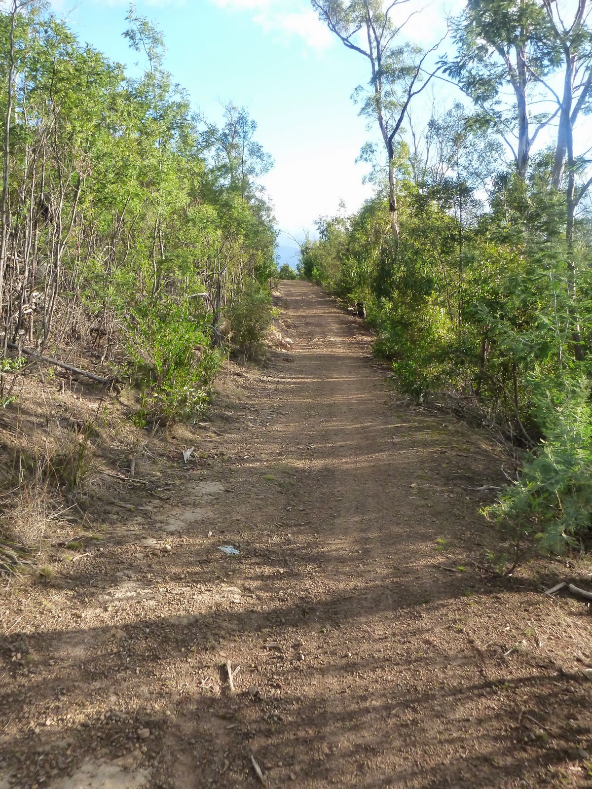
I’ve done this short (steep) section before, but it seemed easier today for some reason (29er?) and before I knew it I was back up on top of Pilchers, and decided “Ah, what the heck” for the second time and continued along the top of the hill to Robins Court.
Did I mention how impressed I was with all the signage in the area now?
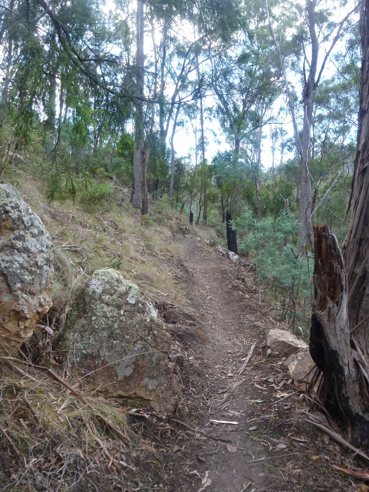
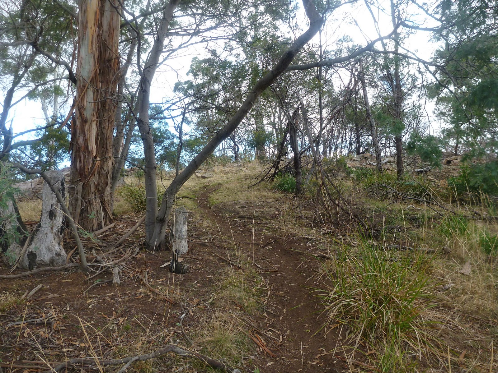
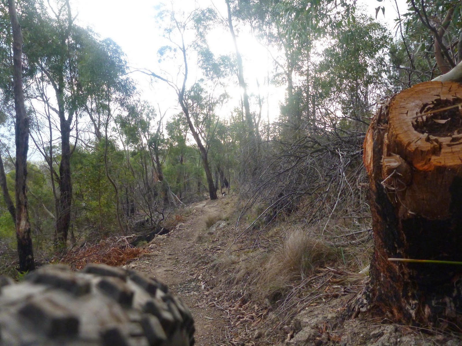
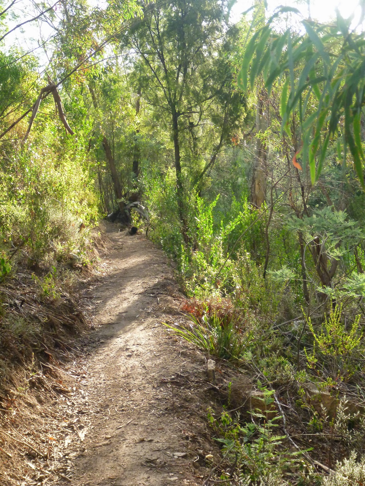
Anyway, as I was retracing my steps back to Faggs Creek Gully, instead of heading up over the top of Pilchers Hill (near the watertank) I took the main (signed) side route and just as I was about to rejoin the track I’d ridden up … I saw another new piece of singletrack heading off to my left.
Yet another U-turn, planned route in my head again thrown out the window, and I turned my wheel downhere to see what I could see …
I saw singletrack …
As yet unsigned (the poles are up, just not the signs) this is a gorgeous piece of trail heading back down to the entrance of the reserve off Geilston Creek Road where I came in.
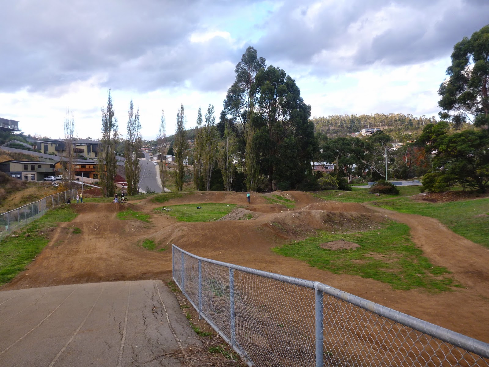
And that was pretty much my ride. I explored a couple of other little sections, dropped into the BMX track at Geilston Bay and then went home to see what was on that video camera …
… and you’ve already read that story (previous post).
As to these trails, well yes they will go up on www.tassietrails.org because they’re brilliant, but I think I’ll wait for the track building to be finished before I start encouraging riders onto the trails.
In the meantime there were still lots of interesting trails over towards Risdon Vale which I didn’t get onto today …
I guess the heatmap is one of the benefits of Strava Premium