 Posted by
 Inspired by a video by Caedence Kuepper from a couple of years ago, I headed off today with ambitions of visting three of four lesser known waterfalls in the Huon Valley, but as the title of this blog hints too … I only got to two.
The day started well with a misty drive down south to Judbury and then over to Denison’s Road, but that’s as far as my good luck went. I was headed to Wallaby Falls, but just past the junction with Denison Road there was a sign next to the road saying the road was closed due to active logging operations.
I confess to sitting there for a few minutes contemplating just going for it as it was a Sunday and it was a bit frustrating having come this far and gotten this close only to have to turn back, but in the end I did the right thing, and turned back deciding to continue on to Edwards Falls via Southwood Road and Edwards Link.
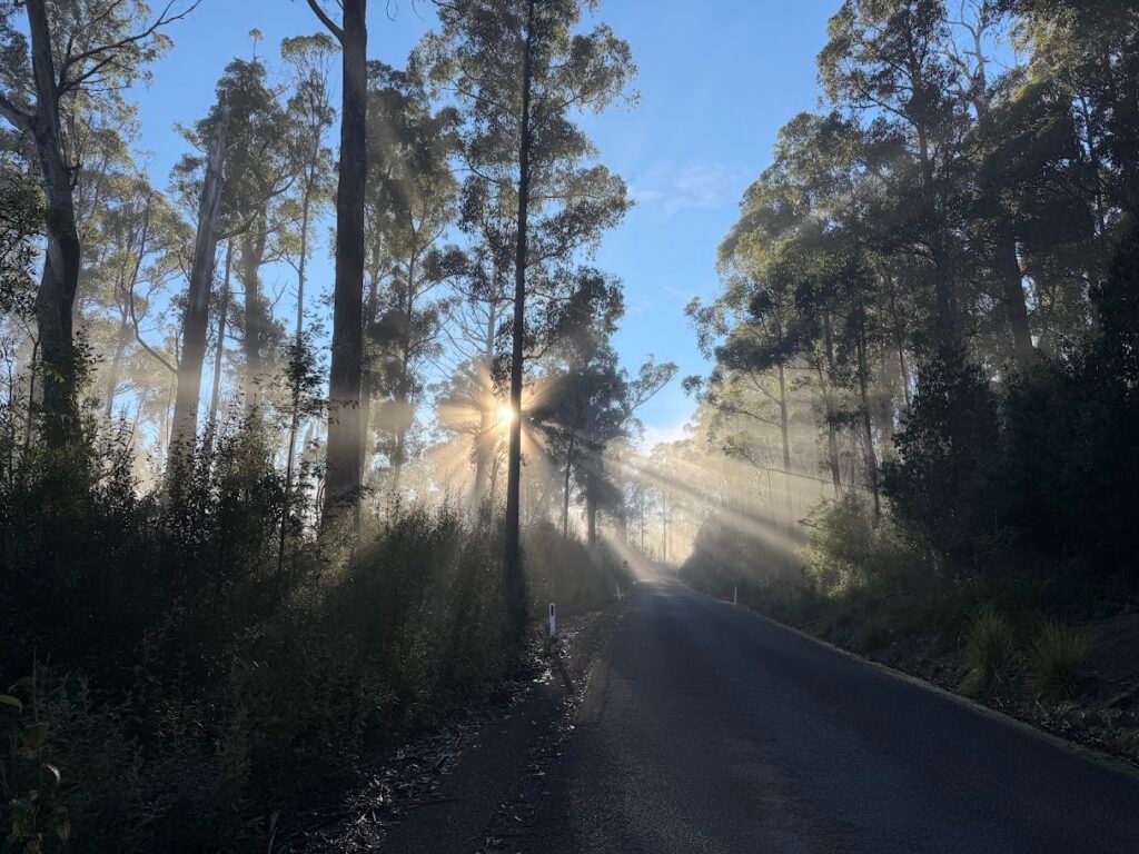
I hadn’t been around this way for years, and the road is definitely narrowing with quite a few pot holes, but no problem if you drive at the right speed, and I got treated to some beautiful spots where the light was just spearing down between the trees.
I eventually came to the unsigned forestry track which leads towards Edwards Falls and decided to drive down a little way. Turns out things have changed a lot since Caedence made that video and after about 300 metres you now come out into a fairly recently logged area, but there is a nice turning circle (another 50 metres on) and I just parked at the spot where the track heads off towards the falls which is just where the logging area starts (very easy to see).
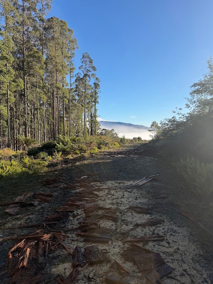
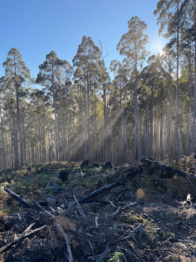
I walked about 250 metres along this track until I saw a boundary snig track heading down the edge of the logging coupe in roughly the direction of the falls, so I jumped onto that and then headed into the bush itself about a further 30 or 40 metres down in what looked like a fairly open spot.
I immediately saw the pink tapes and it was pretty easy walking (a few logs and such to climb around and over) until I got to what looked like an old track on top of a cliff area probably 200 metres from when I left the main track and about 100 metres from the falls. I should point out this isn’t a long walk (1.2kms return – so 600 metres each way)
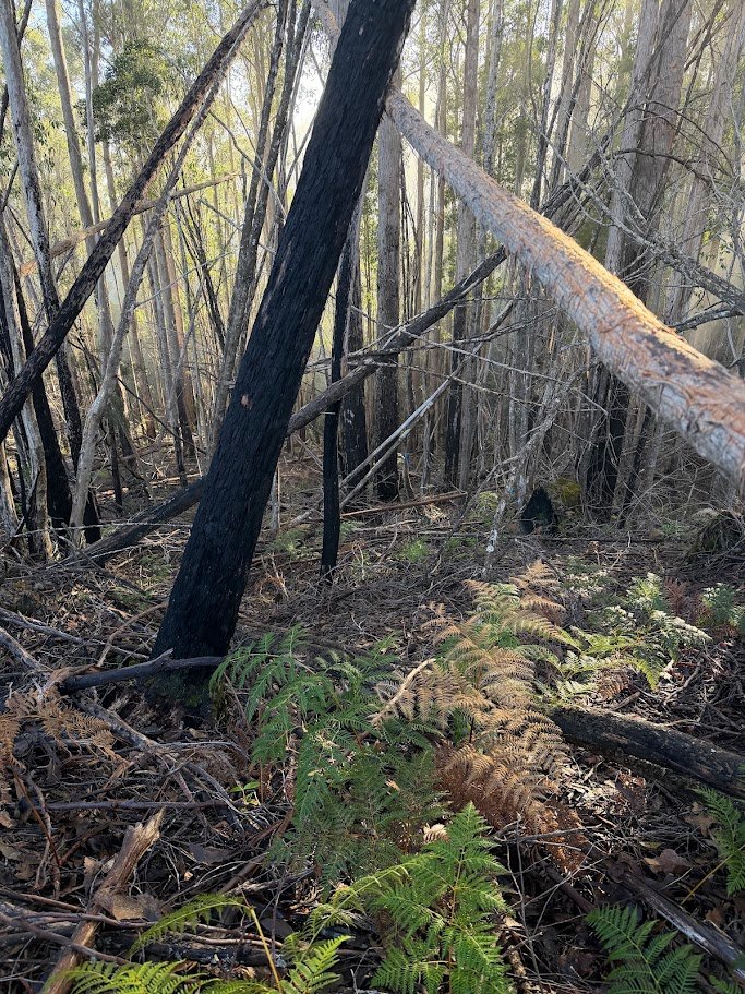
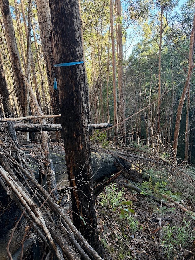
I found a steep, but fairly safe way down following a big old log and then just followed what seemed to be the easiest way forward. It was muddy and slippery, but doable.
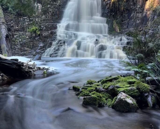
This dropped me next to the creek and from here it was a pretty easy walk up alongside the creek to the falls … which were (as advertised) pretty unimpressive. The stream below was in fact more interesting, but I still had fun trying to take some photos with my new camera (an OSM-5 Mk II) but realised I probably should have read the instructions on how to use it before just turning up as everything was under or over exposed.
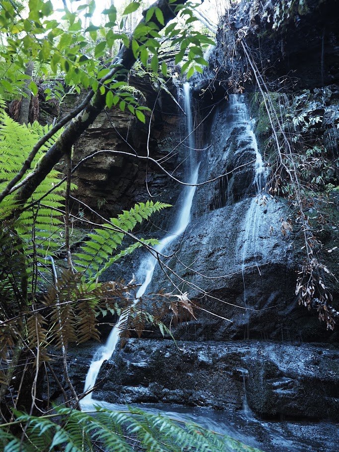
After getting some photos, I backtracked the way I came and all up was only gone from the car for about an hour.
I decided to skip a trip out to foaming falls (deciding I might come back with my eBike and visit wallaby falls and foaming falls on another day) and so continued back onto Southwood Road to Billy Falls.
Just as I came around the corner to where my GaiaAppp showed I would need to head off into the bush, I found another ute parked there and as I pulled in behind it a lady came walking down the road with her dog running around her. I said hello and asked if she had been to the falls and was surprised to hear her say that she had, but as it was such a short, easy walk, she had also taken her dog for a walk out along the road.
I was confused … I thought this was an off track bush bash for experienced walkers.
Turns out that is no longer the case … there was a pink tape by the side of the road and as soon as you get down the side of the road you now find yourself on a very clear and well made walking track (with pink tapes the whole way) which take you to a great lookout site of the falls (footnote – I have now updated the track location on OpenStreetMap using my GPS route which should feed through to most open source maps )
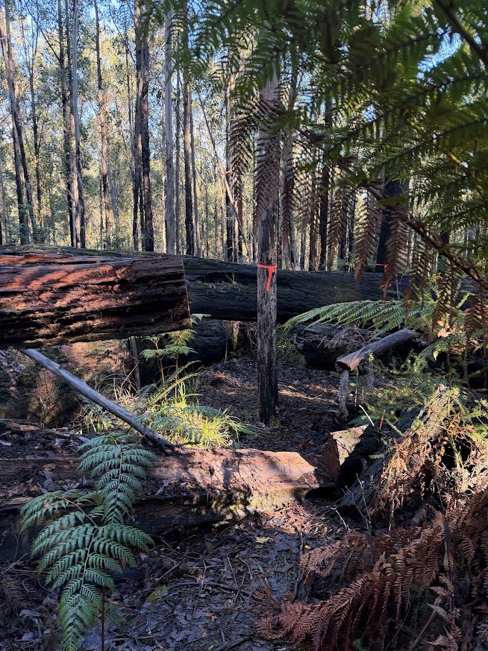
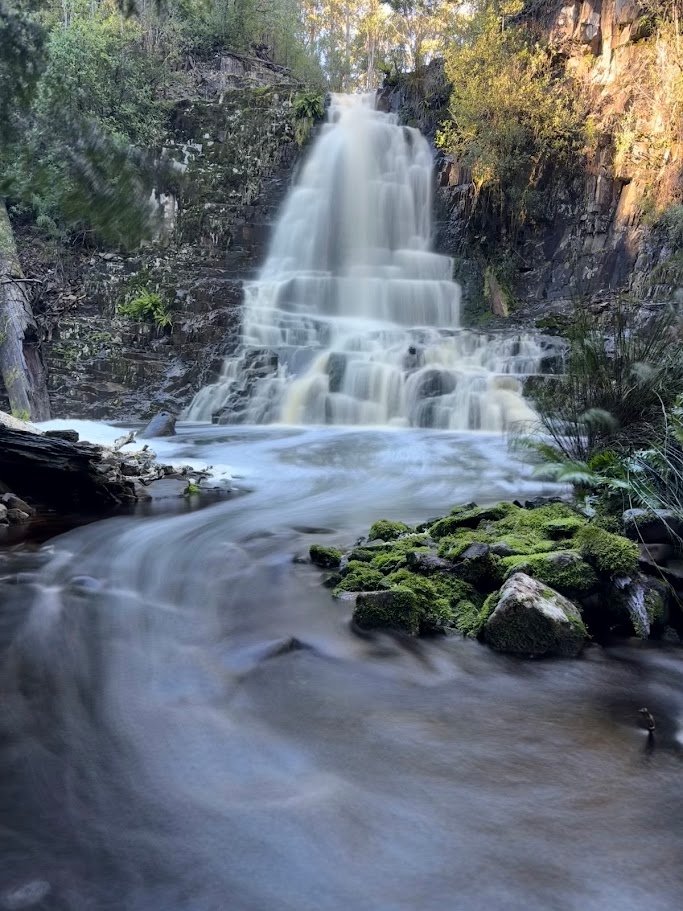
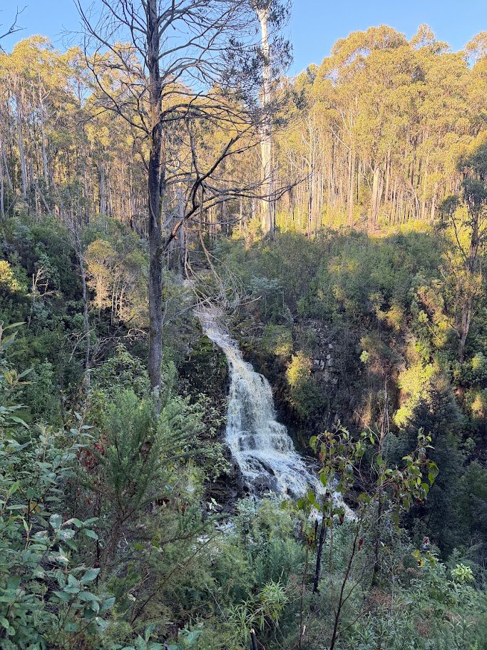
Just before you get to the lookout there is also a taped track that zig zags down to the bottom of the fall, though it was very muddy the day I was there and quite slippery. I enjoyed it, but to get any good photos of the falls I had to walk into the creek, so only really worth it if you don’t mind getting wet, muddy feet.
After that, I just continued back only Southwood Road to Judbury and home.
It was a good day and although I only got to half the places I wanted to visit, it just goes to show it’s the journey and exploration that count, at least for me.